In late May, Dave Horton and I were headed from Eugene to the Palouse area in Washington, but made an afternoon stop at Dufur, Oregon. We were looking for abandoned buildings near Dufur and found several. We also planned on taking some morning images near Maryhill, Washington. Knowing we were going to be out past dinner time, we picked some fried chicken in The Dalles, Oregon.
Abandoned Near Dufur, Oregon
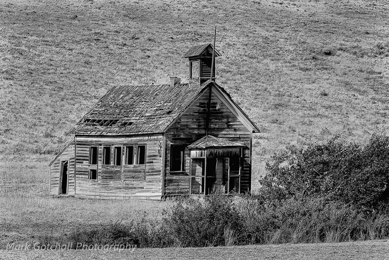
Our first stop was the old school house on Japanese Hollow Road. We took a few images from the road when a pickup drove past and stopped. Turned out to be the owner of the land that the school is on, he told us the former owner actually went to school there. We were told that there was a group of Japanese immigrants that lived at the end of the road, many years ago, and that is how the road was named. We asked for permission to get closer, but the owner declined. The old school, which was built in 1904 is also known as Eight Mile School House.
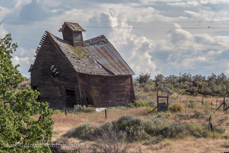
Next we drove over toward Boyd where there is an old grain mill. The mill sits alongside a creek, which was used to power the mill. It is a little difficult to get a good image in late afternoon, but there were some storm clouds rolling in from the south.

On the hill above the mill was this old barn.
Next stop Center Ridge School, which is SW of Boyd.
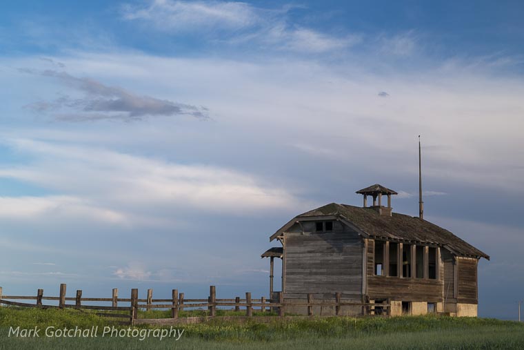
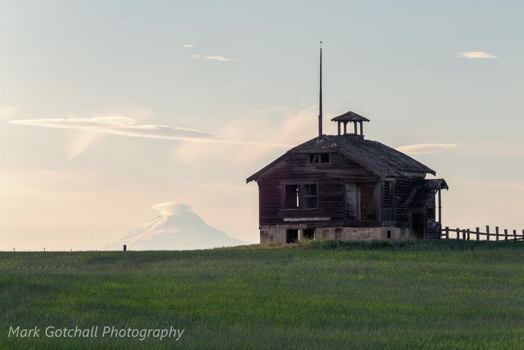
The view from this school was fantastic, with both Mt Hood and Mt Adams visible. I am sure it was very windy at times, being on an exposed ridge. However, as I was shooting, AC DC lyrics kept playing in my head “School’s out for summer, School’s out forever”. Emphasis on the forever part at this location.
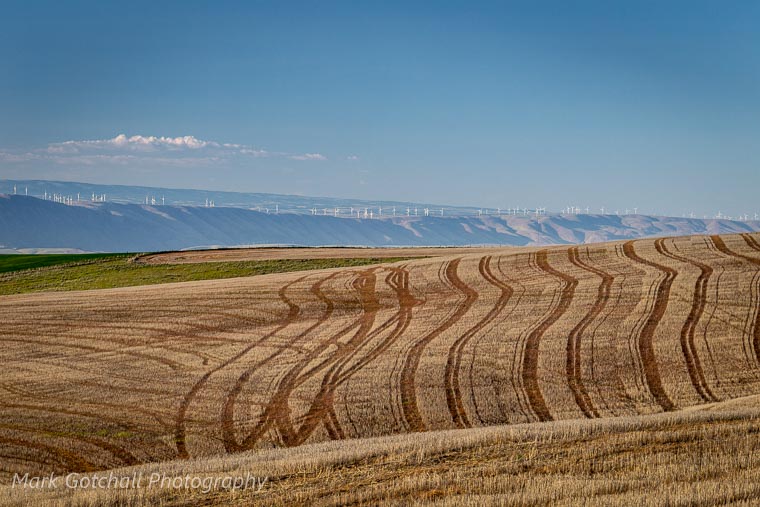
We drove the back roads toward our destination for the evening, stopping along the way. This part of the Columbia Plateau is about 1500-2600 feet higher in elevation than the Columbia River. Last year’s wheat harvest and last falls planting set against the wind turbines along the Washington side of the Columbia.
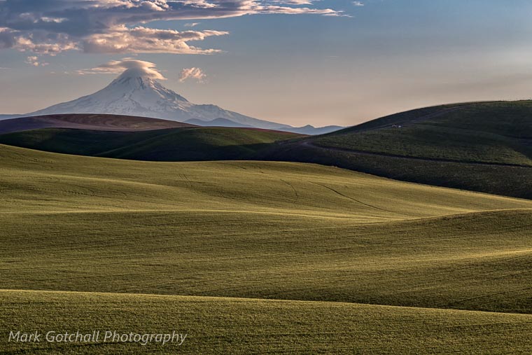
Driving the back roads, you never know when a magnificent view will come along. I like the way the rolling wheat fields give way to the highest peak in Oregon, Mt. Hood.
Just a reminder; most of the abandoned buildings we photographed are on private property. If you can’t get permission, don’t cross the fence. This old home has had items stolen from it by trespassers, no wonder it is hard to get permission at times.
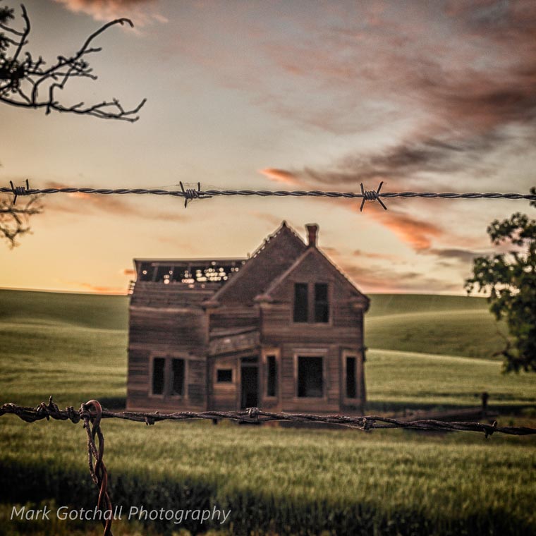
A few clouds moved in as the sun was setting, lighting up the sky behind the old house.
7/19/18 – Update; this abandoned home, along Emerson Road, burned to the ground in the Substation Fire. I am sad that it is gone, but I have preserved some views of it here.

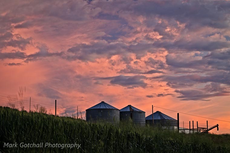
This is the view to the south of the old house about 10 minutes later. The sky exploded in color as the sun was setting.
About 10:00 pm we did some light painting on the old house with a few lights. The sun had set about 1 1/2 hours prior, but there was still a lot of light on the western horizon. The almost full moon helped to create a few shadows as well as adding to the light. There was just enough paint in some rooms to reflect the light and give it a haunted appearance.
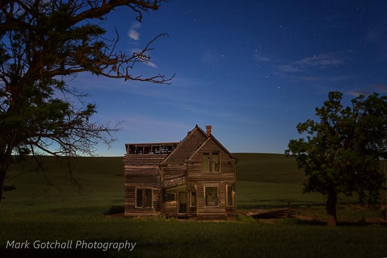
Next stop; The Dalles Inn to get some sleep before the 0430 wake up.
Near Maryhill, Washington
We got up in the morning, grabbed some coffee, and hit the road. I was hoping to get some morning light on Mt. Hood during sunrise. I love it when Mother Nature cooperates, when she doesn’t, you just go with the flow.
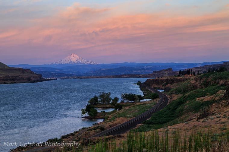
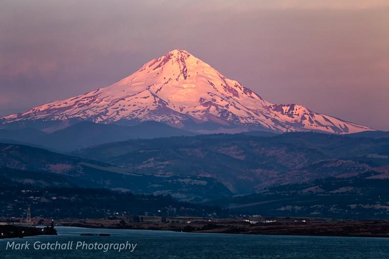
A closer shot shows what looks like an avalanche path down the east slope of Mt. Hood. The Dalles Dam on the Columbia River is in the foreground.
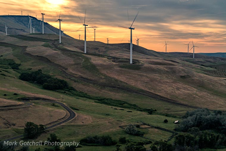
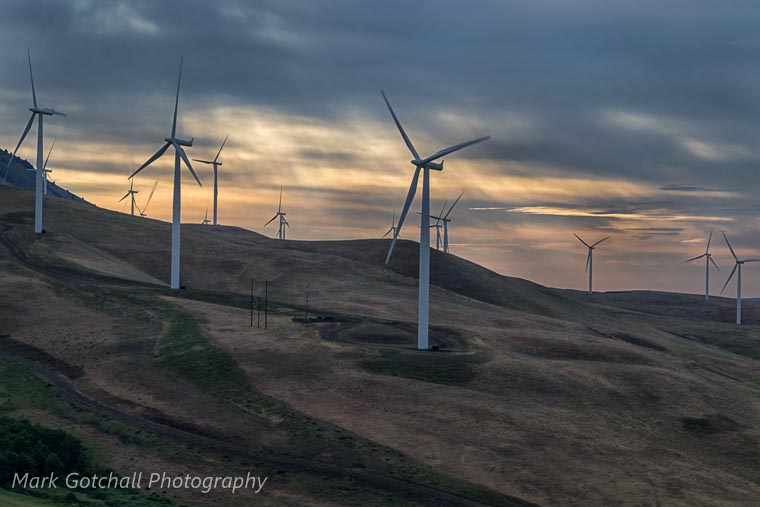
Wind turbines line the hills above Maryhill, Washington. The image below is several images blended together, which shows more than three blades on the wind turbine. You get the idea of the blade movement, but looking at the blades from a distance makes it look like they are not moving very fast. The tips of the blades are actually rotating between 120 mph to 180 mph, depending on wind speed.
Next we traveled up Highway 97 toward Goldendale, Washington. We found this abandoned house near a pull out along the highway. Nice view of Mt Adams in the background.
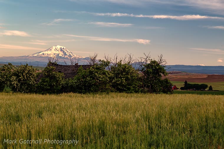
As the sun got higher, more clouds moved in. We stopped back by the wind turbines above Maryhill, while the sun was trying to break through the clouds.
Next Up: Colfax, Washington, the center of the Palouse, if there is such a thing.
Previous: Hobuck Beach and Rialto Beach Photo Trip


I was at Eightmile school 7 years ago and was able to make a video of it.
https://youtu.be/CS5i8O8k_Y4?si=8rOF_LjDOJ1sPvC2